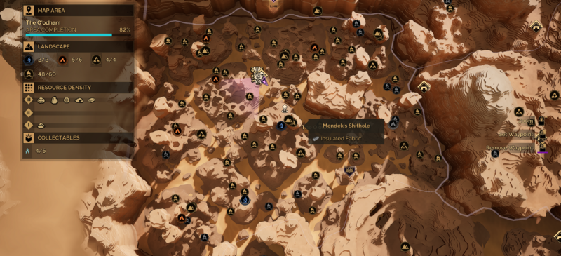
File:Mendek's Shithole Map Location.png
Jump to navigation
Jump to search

Size of this preview: 800 × 365 pixels. Other resolution: 3,840 × 1,752 pixels.
Original file (3,840 × 1,752 pixels, file size: 11.06 MB, MIME type: image/png)
The map location for Mendek's Shithole in The O'odham, Hagga Basin.
File history
Click on a date/time to view the file as it appeared at that time.
| Date/Time | Thumbnail | Dimensions | User | Comment | |
|---|---|---|---|---|---|
| current | 23:51, 14 June 2026 | | 3,840 × 1,752 (11.06 MB) | KatAdAstra (talk | contribs) |
You cannot overwrite this file.
File usage
The following page uses this file: