Overland Locations
(Redirected from Maps)
The Overland Map allows access to the greater reaches of Arrakis. Explore Arrakeen or Harko Village or travel to the Deep Desert in search of spice.
Settlements
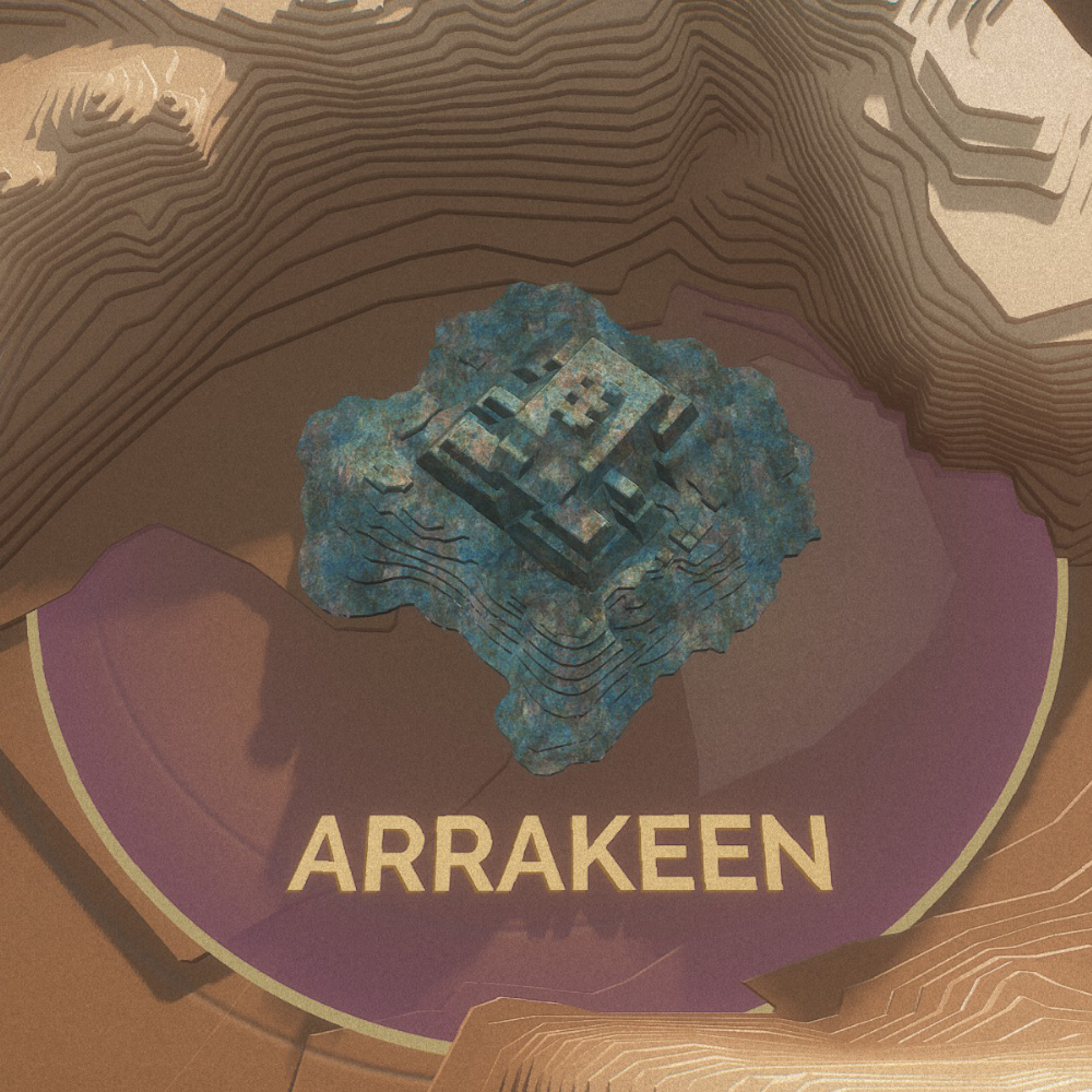 Battle-scarred capital of the Atreides, home for merchants and refugees alike. |
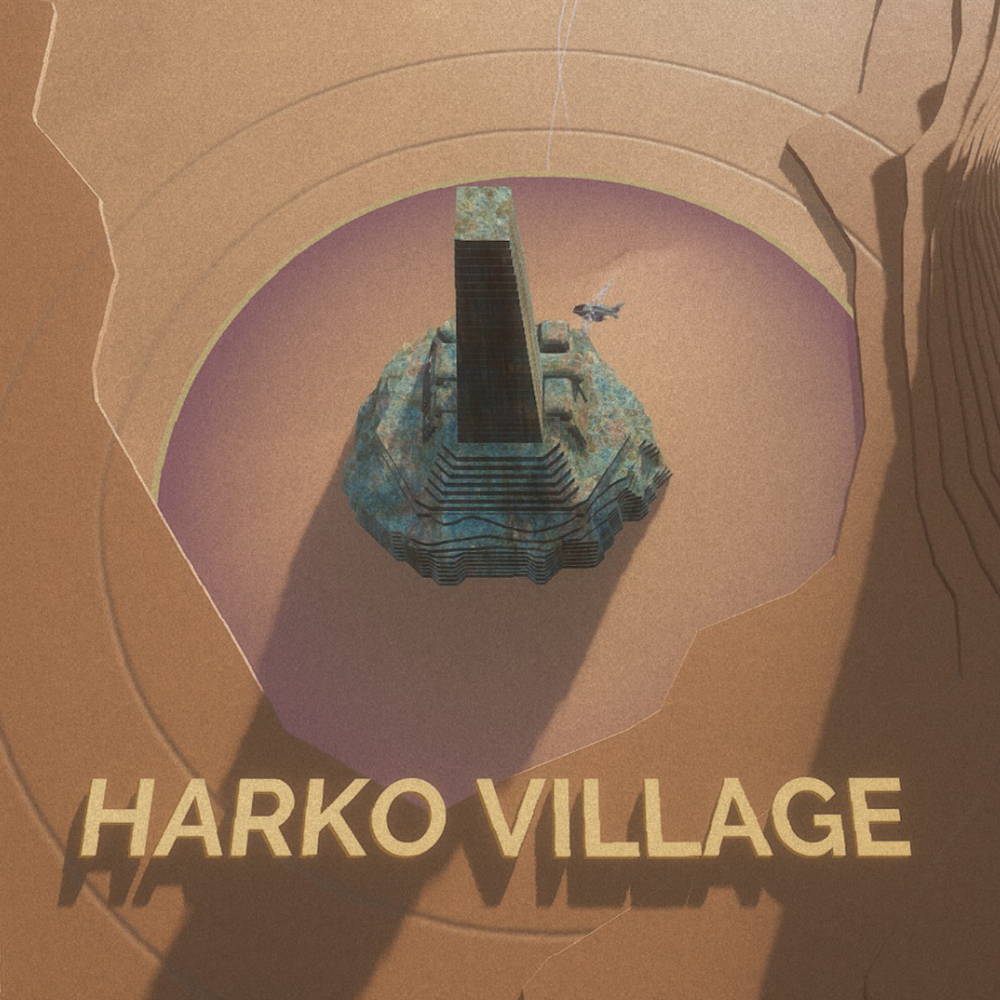 Interim headquarters of the Harkonnens, and nexus of the Carthag slave trade. |
Regions
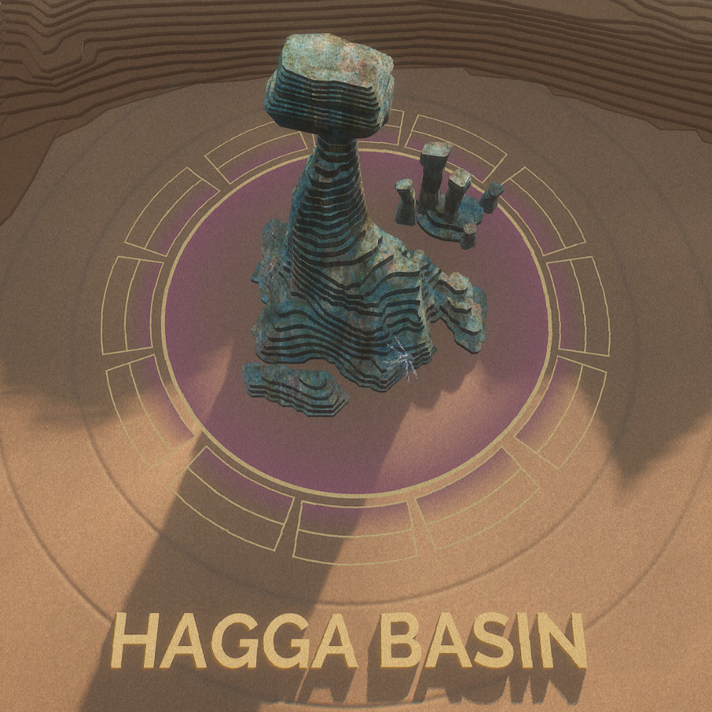 Region laid to waste by the war, partly sheltered by the Shield Wall. |
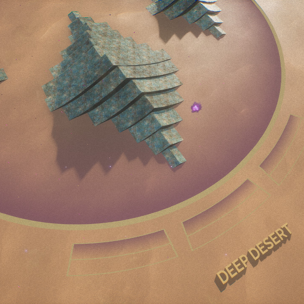 Dangerous but bountiful expanse to plunder... until the next Coriolis storm. |
Story
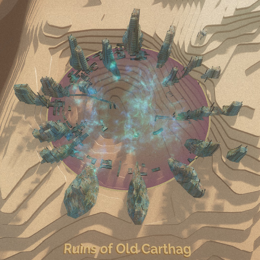 Former capital of House Harkonnen, razed to the ground. |
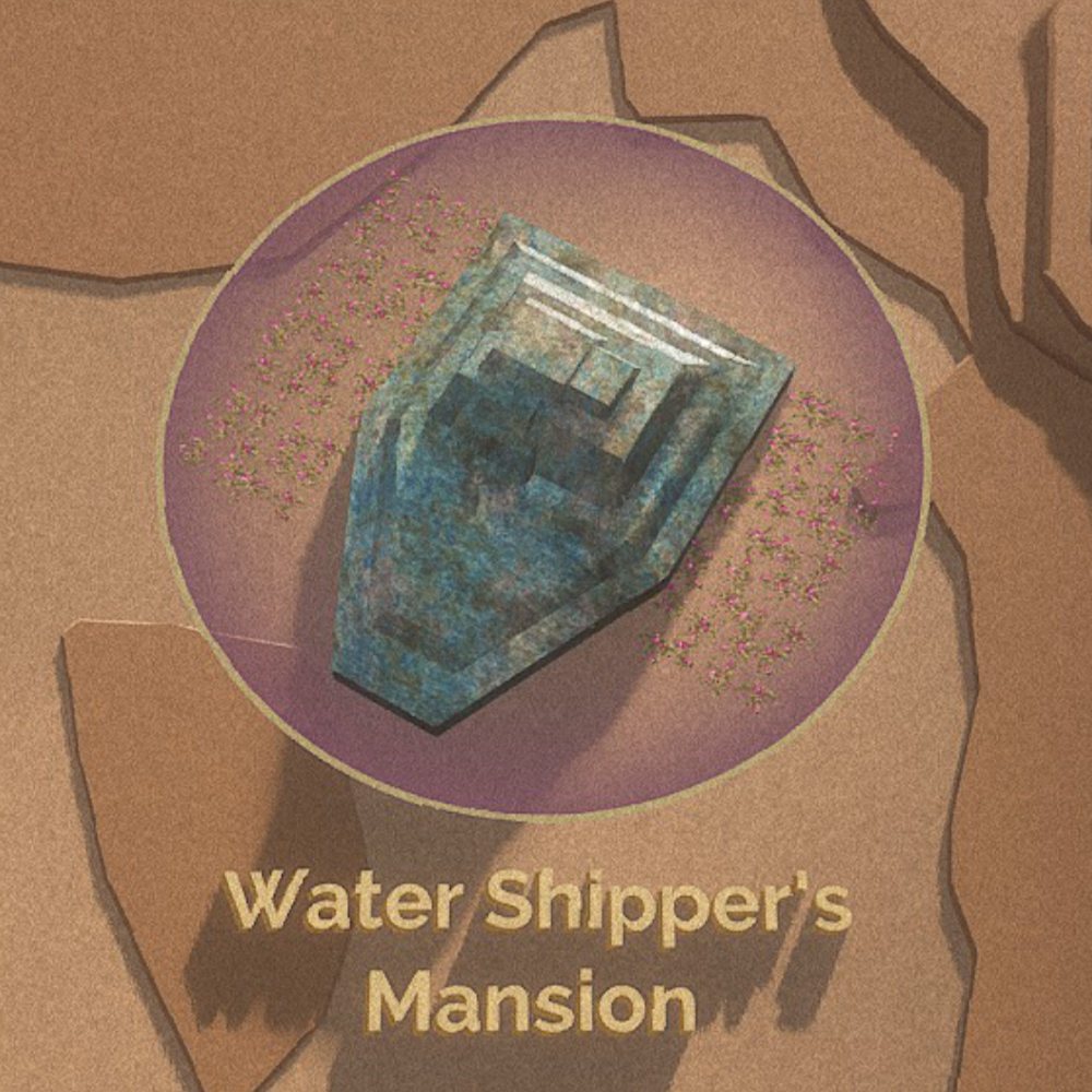 High-security housing complex surrounded by dew fields, just outside Arrakeen. |
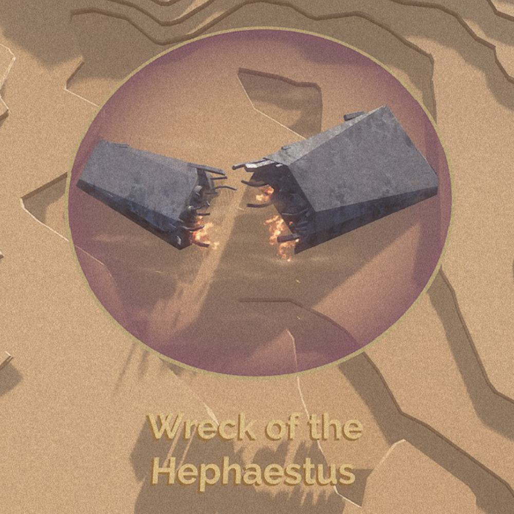 Burning remains of an Ixian freighter. |
Minor Landmarks
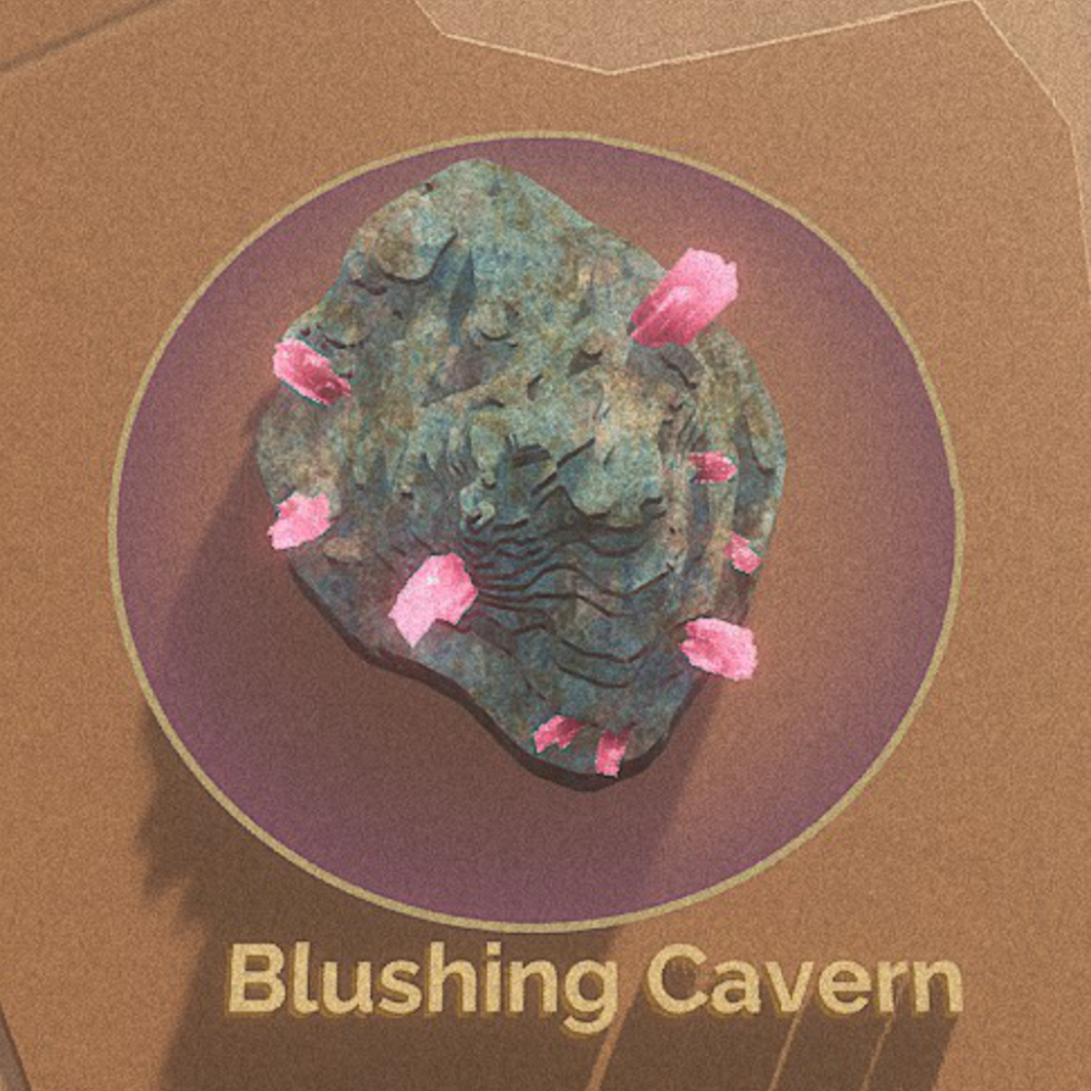 A small rock island with bandit camps atop a large cave of erythrite. |
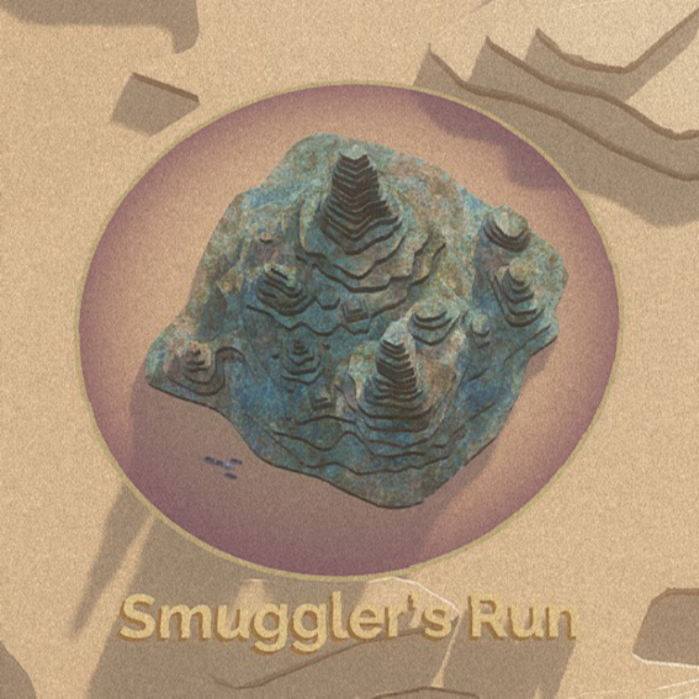 A small rock island with a well-defined and challenging road suitable for driving ground vehicles. |
 A large, well-defended bandit stronghold located on the shield wall. |
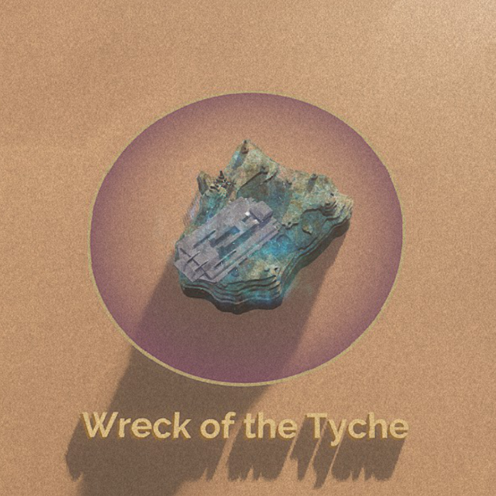 An irradiated shipwreck crashed inside the shield wall. |
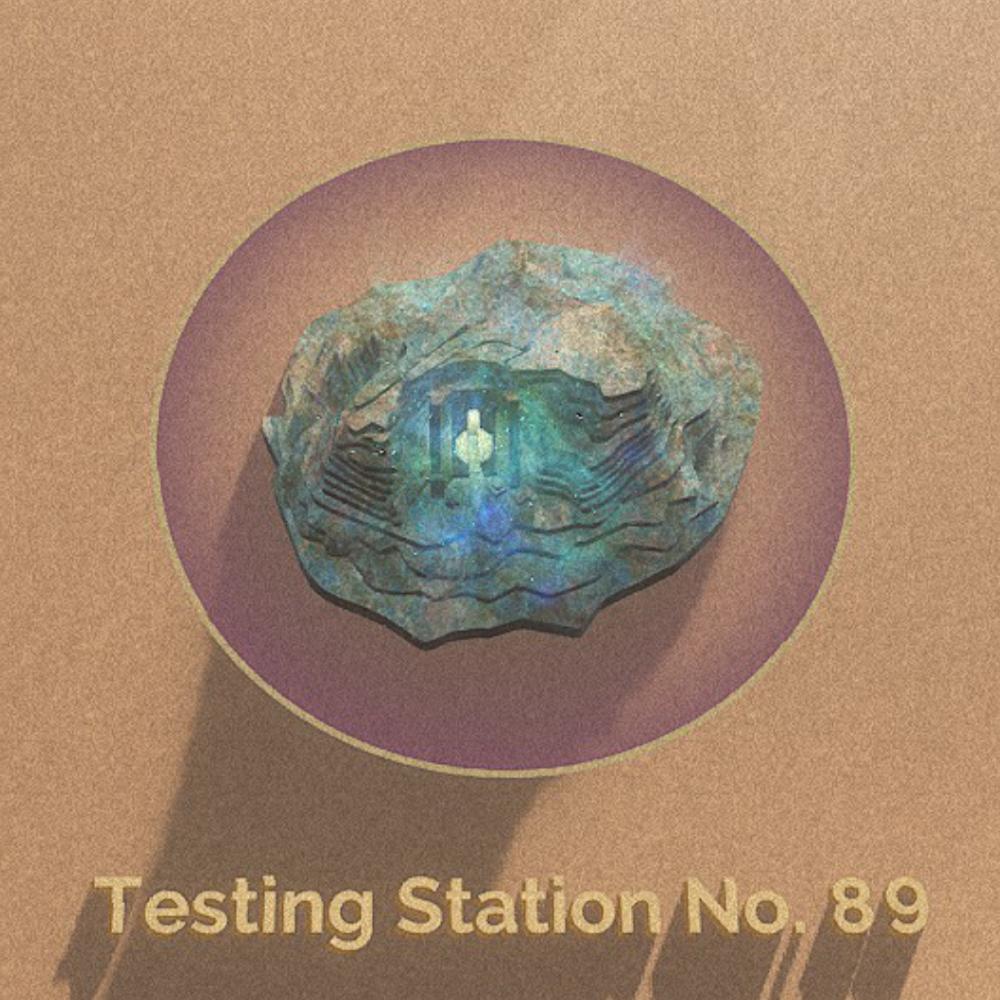
Dungeons
 The entrance is halfway hidden in the dark, unfinished construction. It seems abandoned. |
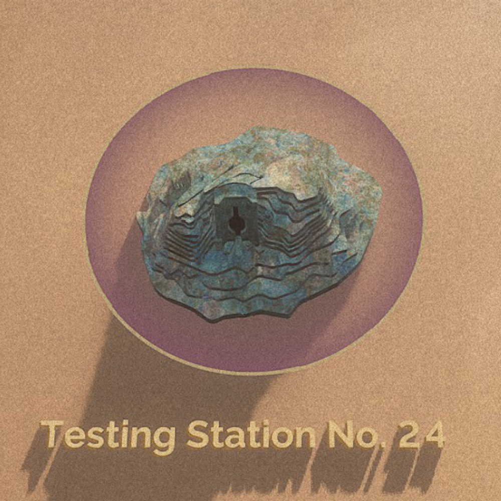
 High radiation readings are registered around the entrance. |
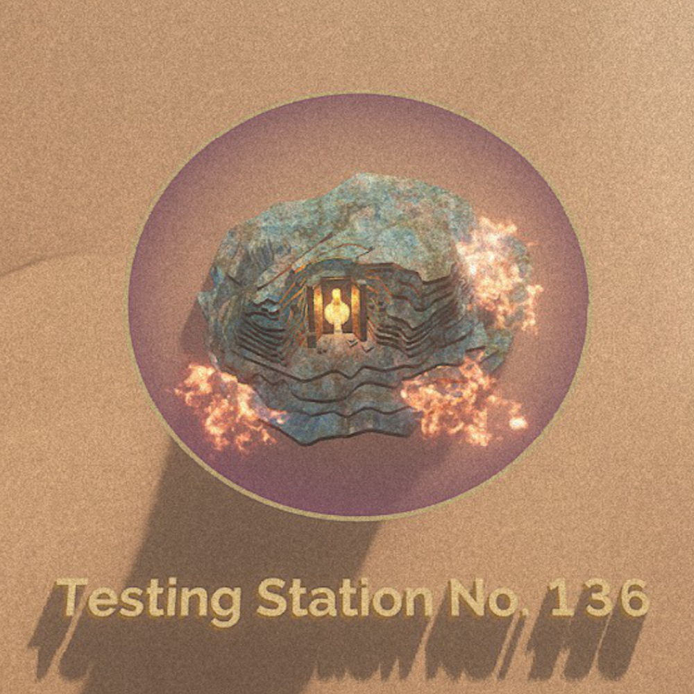 The Station is surrounded by fire-scorched earth and a strong smell of burnt flesh. |
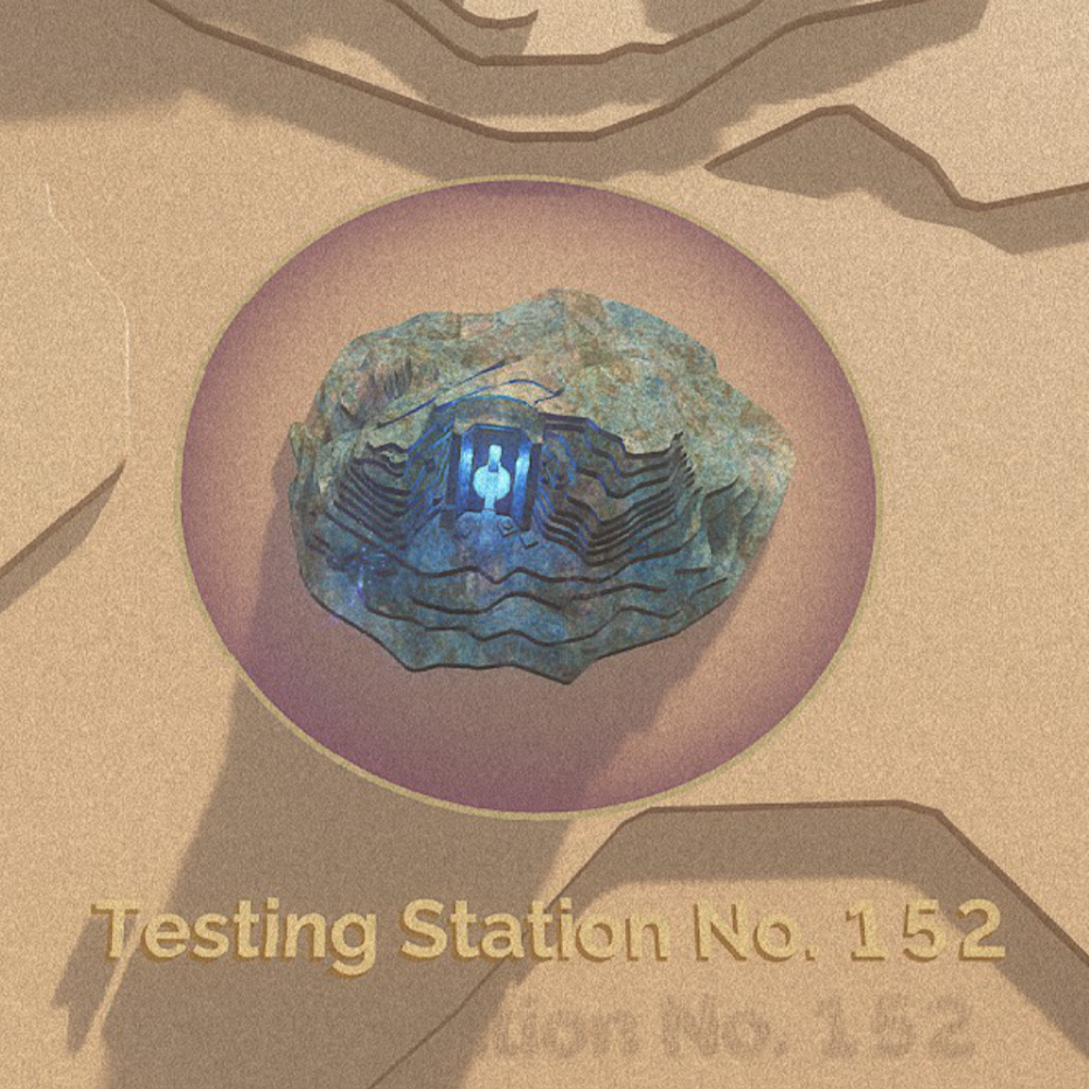 The electromagnetic reading of the Coriolis storm is exceptionally high in this location. |
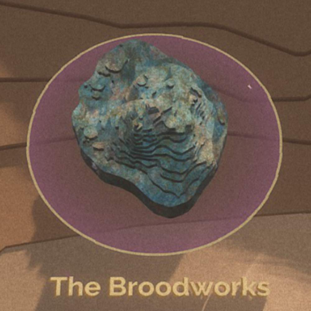
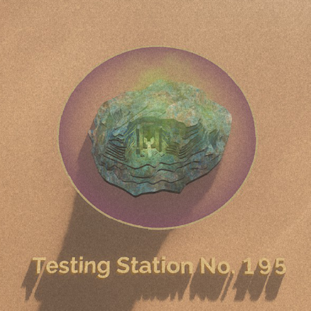 Vines are covering the entrance and a faint smell of burnt elacca wood emanates from below.] |